Click on the picture for information
See the map for the location of the villages
See the map for the location of the villages
|
Long distance trade in the early 8th C. was done by ships. Especially Frisians sailed the trading routes between the British Isles, the Frankish empire and Scandinavia. Sailing from the Northsea to the Baltic meant navigating the Danish peninsula with its strong currents and pirates in the Kattegat.
Yet, over land, across modern-day Schleswig-Holstein, the distance was relatively short. So another route was established over de rivers Eider and Treene, which left a short distance to be travelled over land towards the Schlei 'fjord'. This is where the tradingplace Hedeby was founded. Somewhere in the 8th C. a Danish king took control over the town. In the 10th C. it became protected by new extensions of the Danevirke, the wall that had to protect the Danes from the Saxons in the south. For some threehundred years Hedeby was a centre for trade. The Frisian connection
Archeological evidence suggest it were the Frisians who were the first to settle at this location. The early graves resemble those from the Frisians and in one of the graves a Frisian sceatta (an early coin) was found. The Frisians probably used Hedeby only during the summer for trade. |
Go see
|
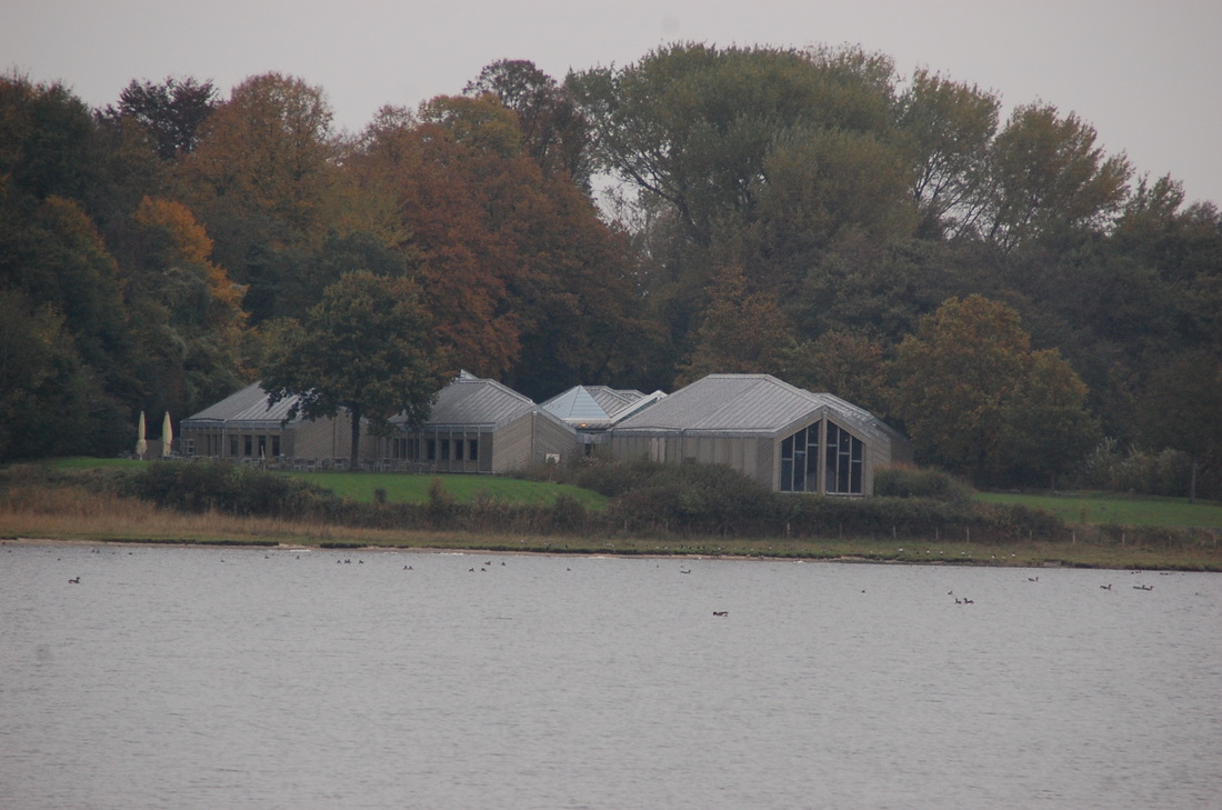
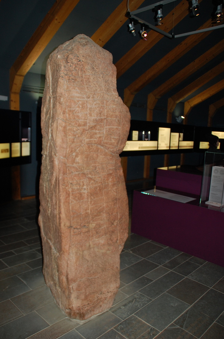
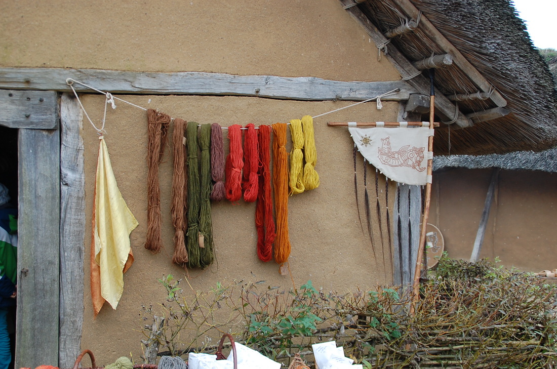
Wikinger Museum Haithabu
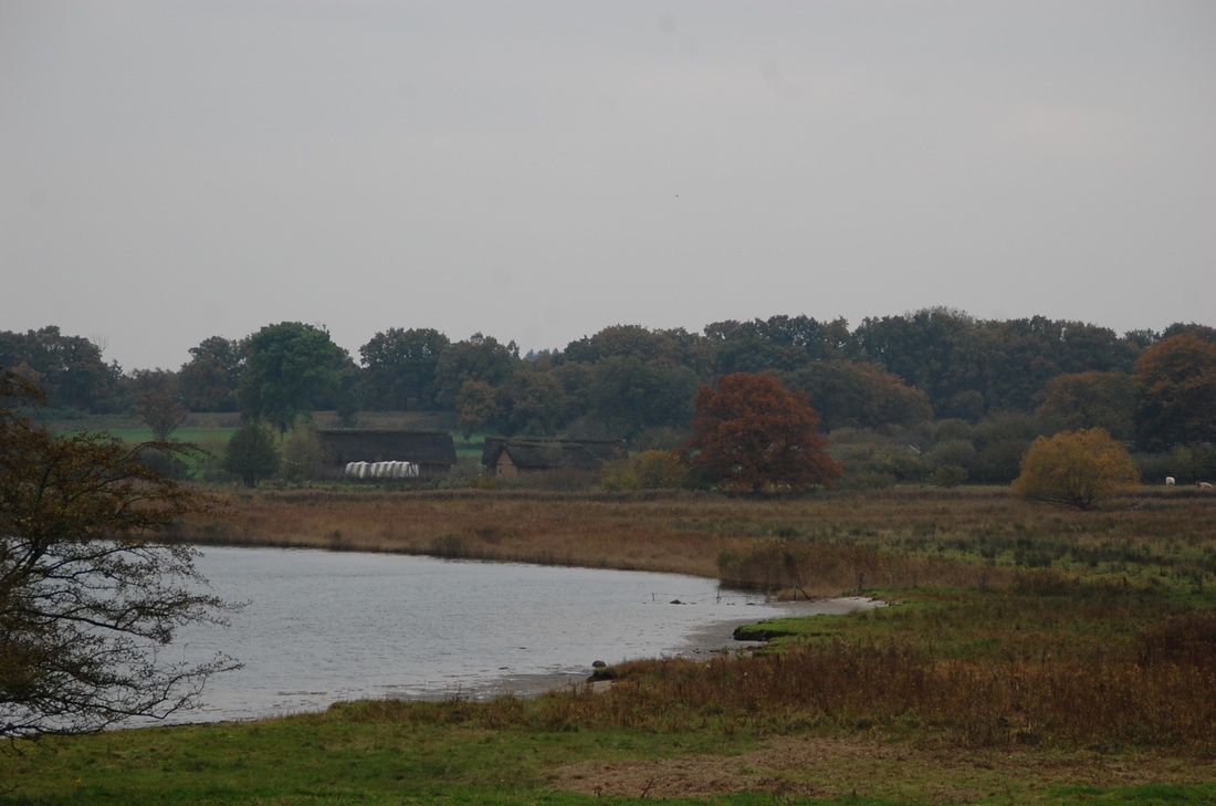
Am Haddebyer Noor 5, 24866, Busdorf The museum offers a great deal of information on Hedeby, contains some runestones and even a reconstructed trading vessel. It is housed in a great piece of modern architecture, some distance away from the actual site of the ancient market place. On the exact location a small open-air museum shows some reconstructed houses and workshops. |
